Have just one weekend to figure out if Menlo Park fits your day-to-day life? With the right sequence, you can see the key pockets, test commute options, and feel the area’s rhythms in 48 hours. This plan gives you a step-by-step route, what to observe, and an easy way to turn notes into a clear short list. Let’s dive in.
Quick orientation
Start with the City’s neighborhood map to understand how downtown, Allied Arts, Sharon Heights, The Willows, and Bayfront areas connect. Use the official map to pick the exact blocks you’ll walk and to note where boundaries shift subtly across streets. The map helps you plan short loops rather than long drives so you can compare street character up close. Check the Menlo Park neighborhood map.
Downtown, the Menlo Park Caltrain station anchors Santa Cruz Avenue with cafés, bookstores, and small shops. For a quick primer on walkable landmarks and a good starting point for your loop, review Caltrain’s Destination Downtown – Menlo Park. While you’re there, note how many people arrive by train mid-morning and late afternoon.
Plan open space into your visit. Bedwell Bayfront Park gives you an easy, wide-open Bay loop and a sense of weekend recreation. Burgess Park near the Civic Center shows you how locals use public pools, sports fields, and playgrounds. For hours and features at the shoreline, see Bedwell Bayfront Park.
Be aware of near-term change on the Bayfront. The large Willow Village project is reshaping parts of the Belle Haven area with future mixed-use buildings, new retail, and access changes. If the Bayfront is on your list, walk the perimeter and read posted notices on the Willow Village project page. For flood and sea-level topics along the Bay, orient with the City’s SAFER Bay project.
Top pockets to scout
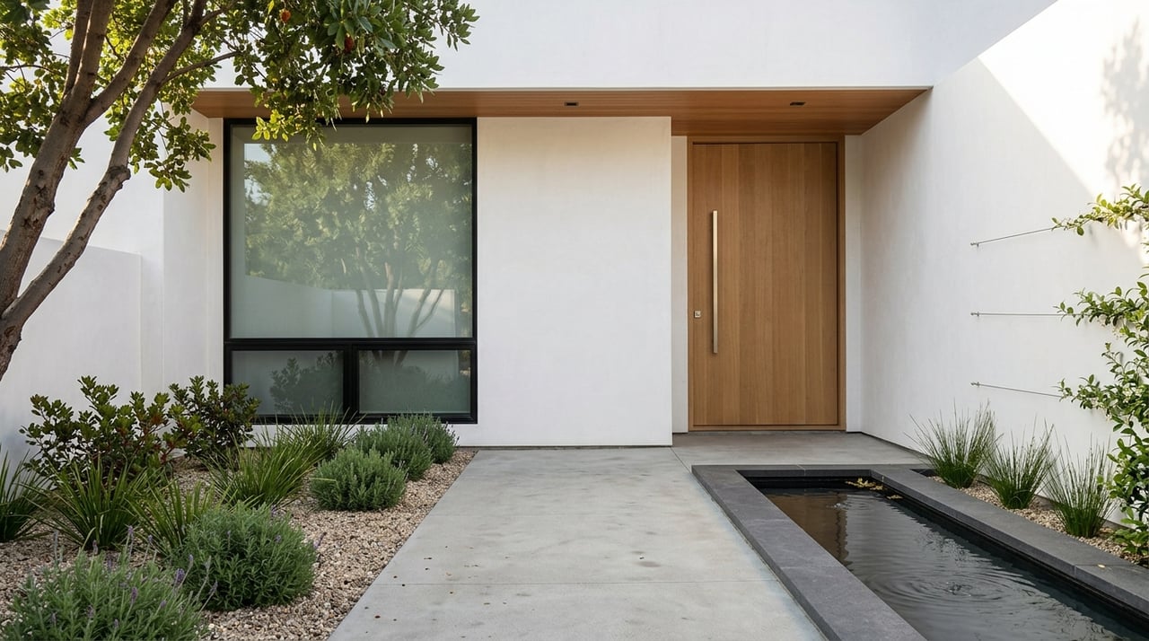
Downtown and Allied Arts
- Why go: This is the most walkable core, a reliable snapshot of street life, and close to Caltrain.
- What to observe: Sidewalk activity, café lines, parking occupancy and time-limit signs, and how many businesses stay open into the evening. Watch who’s there at lunch and after 6 pm.
Allied Arts and Central Menlo west of downtown
- Why go: You get quieter streets within a short walk of shops and the station.
- What to observe: Lot sizes, mature trees, sidewalk continuity, and how quickly you can reach coffee or groceries on foot.
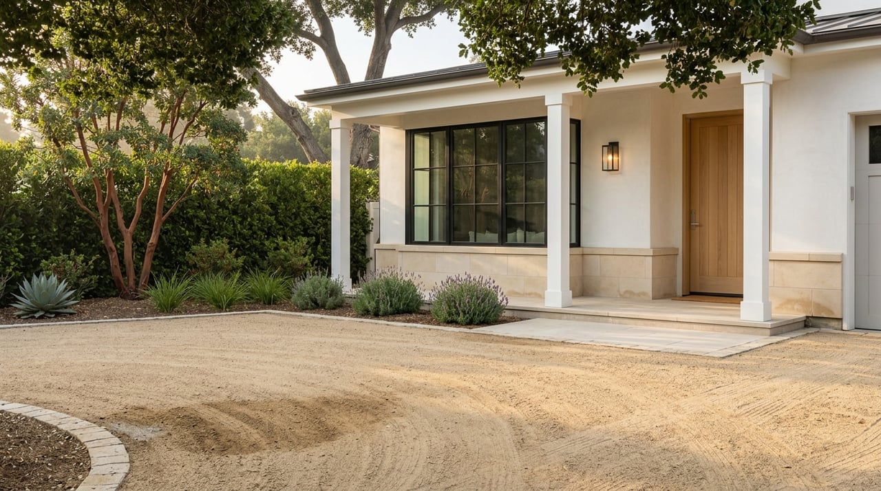
Sharon Heights and West Menlo
- Why go: Larger lots, a calm residential feel, and quick access to Sand Hill Road and I-280.
- What to observe: Street noise, yard depth, and how easy it is to exit the area by car at peak times. Try a 15–20 minute walk near a retail node to see if errands feel convenient.
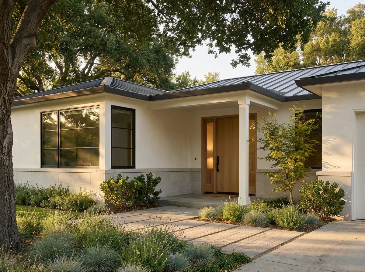
The Willows, Suburban Park, and the Flood Triangle
- Why go: A range of home styles and lot sizes that often price differently than downtown or Sharon Heights.
- What to observe: Renovation activity, sidewalk quality, and the trade-off between yard size and walkability.
Belle Haven and Bayfront
- Why go: Close to Bay trails, varied housing types, and large-scale change from Willow Village.
- What to observe: Street elevations, posted flood or construction notices, and connections toward the Dumbarton Bridge. If long-term resiliency matters to you, pair your walk with the SAFER Bay project overview.
Commute and transit checks
Caltrain snapshot
Menlo Park’s historic station sits at downtown’s edge and serves riders north to San Francisco and south to Palo Alto and San Jose. During your visit, check which trains stop here and how far your candidate blocks are from the platform. The Destination Downtown guide is a simple way to plan that station-area loop.
SamTrans and local shuttles
SamTrans runs buses along El Camino Real and Willow Road with connections across San Mateo County. On your visit, note bus stop locations, frequency during commute windows, and whether shuttles operate on weekends or weekdays only. Browse route maps and timetables on SamTrans schedules and maps.
Highways and bridge patterns
Driving commutes hinge on US-101, I-280, and the Dumbarton Bridge. Even on a weekend, you can sample access and distance, then sanity-check live times during a weekday AM or PM peak. Pay attention to typical peak directions to gauge what your daily drive might feel like.
Bike and pedestrian last-mile
Look for protected lanes, continuous sidewalks, and safe crossings on the streets you like most. Newer trail connectors near the Bayfront, including the Flyway Trail link, can make bike-to-park or bike-to-transit trips more practical.
Weekend logistics
Parking and downtown changes
Downtown public parking uses time-limited street spaces and managed parking plazas. The City is studying redevelopment scenarios for some lots, which can affect availability and the long-term feel of downtown. If you plan to linger, review notices on development of downtown parking lots and watch signage on the ground.
Farmers market window
The Menlo Park Farmers Market typically runs Sundays from 9 am to 1 pm on Chestnut Street between Santa Cruz and Menlo Avenues. It’s a great way to gauge weekend foot traffic, vendor mix, and small-business energy. Confirm hours before you go on the Menlo Park Farmers Market listing.
Park access and temporary closures
City park pages post hours and any detours. If Bedwell Bayfront Park or other facilities are part of your plan, check for posted updates the week of your visit to avoid unexpected detours and closures.
Safety and environmental context
If you want an objective read on recent incident patterns, the Police Department’s public portal is a practical tool. Look up specific blocks by time of day on Citizen RIMS. For Bayfront blocks, pair your on-the-ground observations with the City’s SAFER Bay project to understand long-term flood adaptation.
Your 48-hour plan
Saturday: Downtown and nearby residential
- 8:30–10:00 am: Downtown loop from the Menlo Park Caltrain station. Grab coffee, watch sidewalk activity, and read parking time-limit signs.
- 10:15 am–12:00 pm: Allied Arts side-street walk. Note lot sizes, tree canopy, and sidewalk connectivity to shops.
- 12:00–1:30 pm: Lunch on Santa Cruz Avenue. Observe who walks in vs. drives in and how fast parking turns over.
- 1:45–3:30 pm: Drive to Sharon Heights. Slow cruise a few streets, then park and test a short errands walk. Check I-280 and Sand Hill Road access.
- 4:00–5:30 pm: The Willows or Flood Triangle. Compare street character and renovation activity with Sharon Heights.
- Evening: Return downtown. See which storefronts stay open past 7 pm and how lively sidewalks feel.
Sunday: Bayfront, parks, and market
- 8:00–10:00 am: Bedwell Bayfront Park loop to sample shoreline access and weekend use.
- 10:00 am–12:00 pm: Belle Haven and Willow Village perimeter. Read posted notices, watch transit stops, and note street crossings.
- 12:00–1:30 pm: Menlo Park Farmers Market. Scan vendor types, crowd flow, and stroller traffic to sense weekend rhythms.
- 1:30–2:30 pm: Civic Center and Burgess Park quick loop to see pool, fields, and general weekend recreation.
- 2:45–4:00 pm: Drive US-101 and I-280 in each direction. Even off-peak, you’ll feel access and distance. If possible, sample a weekday peak later.
Bring-this checklist
- Printed City neighborhood map and a short list of blocks to walk.
- Caltrain and SamTrans schedule screenshots; a live transit app.
- A simple clipboard checklist and phone camera for quick street photos.
- Notes or voice memos to capture impressions right after each stop.
What to observe on each block
- Walkability: Sidewalk presence and condition, crosswalks, and everyday errands within a 5–15 minute walk.
- Transit access: Distance to Caltrain or bus stops and frequency at commute times.
- Parking: On-street rules and plaza availability near downtown.
- Parks and trails: Proximity to playgrounds, fields, and Bay or neighborhood trails.
- Noise and visuals: Freeway sound, aircraft paths, construction, or industrial edges.
- Environmental signs: Street elevation, stormwater drains, and posted flood adaptation work.
- Retail and dining rhythm: Density, hours, and signs of repeat local clientele.
- Safety signals: Time-of-day patterns and any recent incident clusters via Citizen RIMS.
Turn notes into decisions
Use a simple 1–5 score for each attribute above on every pocket you visit. After the weekend, weigh those scores against your commute tolerance and daily needs. Create a short top-3 list and write two lines for each: why it works for you and what would make you say no.
After your visit
- Request targeted viewings inside your top two pockets and choose three homes per pocket that match your must-haves.
- If Bayfront blocks make your list, ask for utility, flood-insurance, and permit histories for any specific addresses you like.
- Re-check Caltrain and SamTrans schedules and any posted construction the week before you tour.
When you want a precise, data-backed plan for your Menlo Park move, connect with a local advisor who lives and works here. For curated neighborhood intelligence, discreet buyer representation, and on-point scheduling, reach out to Stephanie Von Thaden.
FAQs
Where should I start a weekend immersion in Menlo Park?
- Begin at the Menlo Park Caltrain station, walk Santa Cruz Avenue, and use the City’s neighborhood map to plan short residential loops nearby.
How can I compare walkability between downtown and Sharon Heights?
- Do a 15–20 minute errands walk in each area and note sidewalk continuity, crossing safety, and whether daily needs are within a 5–15 minute walk.
What is the best way to gauge commute reliability from Menlo Park?
- Stand at the Caltrain station during a weekday-like window, check which trains stop here, and sample access to US-101 and I-280 to feel real-world timing.
What should I know about Bayfront flood and resiliency topics?
- Observe street elevations and posted notices onsite, then review the City’s SAFER Bay materials for longer-term adaptation planning and potential impacts.
When and where is the Menlo Park Farmers Market?
- It typically runs Sundays from 9 am to 1 pm on Chestnut Street between Santa Cruz and Menlo Avenues; confirm details on the market’s listing page.
How can I check recent safety data for a specific block?
- Use the Police Department’s public portal, Citizen RIMS, to review incident patterns by time of day and location before you schedule viewings.